2:45 PM | *Here we go again...strong storms*
Paul Dorian

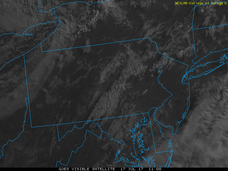
Latest loop of visible satellite imagery showing rapidly developing storms; courtesy College of DuPage, NOAA/GOES-16
Overview
Here we go again…the atmosphere is very unstable in the I-95 corridor region between DC and Philly and storms are exploding in and around the area. Strong thunderstorms threaten the DC and Philly metro regions between now and mid-evening and any storm can produce the full works…i.e., heavy rain, hail, damaging wind gusts and frequent lightning. In addition, the grounds are still pretty saturated in many areas so downpours can cause flash flooding with any one of these individual thunderstorm cells.

NEXRAD radar map as of 2:10PM; courtesy College of DuPage, NOAA
Discussion
Satellite imagery shows the explosive development of these storms during the last few hours and the most recent plot of surface-based lifted index reveals some very unstable air in and around the DC-to-Philly corridor (the lower the number, the more unstable is the atmosphere, values of "-9" seen over the PA/MD border certainly raise red flags). The combination of an approaching upper-level trough of low pressure and surface-level convergence is destabilizing the atmosphere in this part of the Mid-Atlantic.

Surface-based lifted index indicating very unstable air over the DC-to-Philly corridor; courtesy NOAA
The latest radar map shows that the bulk of the activity situated to the north of the PA/MD border sits to the west of the Philly metro region. However, that activity should slowly shift eastward during the next few hours and is likely to threaten the immediate Philly metro region by the late afternoon. In the DC metro region, storms have developed quite rapidly and will be a threat into the early evening hours.
Meteorologist Paul Dorian
Vencore, Inc.
vencoreweather.com